Two systems in the Atlantic basin — Hurricane Rafael and a disturbance northeast of the Leeward Islands — are drenching parts of the Caribbean, according to the National Hurricane Center. Rafael’s projected path has taken a wild swing to the west and its ultimate destination is still in flux.
A mid-level ridge developing over the western Atlantic and the Florida Peninsula is projected to push Rafael, still a Category 2 hurricane with maximum sustained winds of 105 mph after crossing Cuba, westward and farther away from the Sunshine State over the next few days, forecasters said. Another mid-level ridge building in the Gulf of Mexico could push the storm more southward.
Rafael currently is not expected to make landfall in Florida, but the lower Florida Keys may see storm surge and coastal flooding. Areas along the west coast of Florida are under small craft and high surf advisories and there is a high risk of dangerous rip currents.
Hurricane Rafael made landfall in the Cuban province of Artemisa just east of Playa Majana at 4:15 p.m. Wednesday as a Category 3 hurricane, taking down the island’s electrical grid and hammering the residents in parts of western Cuba with “life-threatening storm surge” and flash flooding.
➤ Spaghetti models for Hurricane Rafael
➤ Weather alerts via text: Sign up to get updates about current storms and weather events by location
Forecasters will be watching Rafael carefully over the next few days as it encounters wind shear, drier air, and cooler waters. The storm is expected to weaken. Long-range forecast models are not in agreement on where it will go and show the storm could have direct impacts anywhere from eastern Mexico to Texas, Louisiana, Mississippi, and the Florida Panhandle.
“It is also possible Rafael is torn apart by strong winds high in the atmosphere and dissipates in the Gulf of Mexico before making landfall,” AccuWeather Senior Meteorologist Bill Deger said.
Elsewhere in the Atlantic basin, meteorologists are watching a trough of low pressure northeast of the northern Leeward Islands. The National Hurricane Center said some gradual development is possible toward the end of the week and into the weekend.
AccuWeather meteorologists said the system could develop into a tropical depression or storm as it moves along the northern islands of the Caribbean this week.
The next named storm of the season will be Sara.
Here’s the latest update from the NHC as of 7 a.m. Thursday, Nov. 7:
Hurricane Rafael: What you should know

Special note on the NHC cone: The forecast track shows the most likely path of the center of the storm. It does not illustrate the full width of the storm or its impacts, and the center of the storm is likely to travel outside the cone up to 33% of the time.
Spaghetti models for Hurricane Rafael
Special note about spaghetti models: Illustrations include an array of forecast tools and models, and not all are created equal. The hurricane center uses only the top four or five highest performing models to help make its forecasts.
➤ Spaghetti models for Hurricane Rafael
Florida impacts from Hurricane Rafael
Potential impacts for Florida from the National Hurricane Center:
-
Coastal flooding, including the potential for saltwater flooding of oceanside portions of the Lower Keys early this morning, especially coming off the early morning high tide. Water levels could reach up 2 feet above mean higher high water, or about a foot higher than recent high tides. Conditions are expected to improve later this morning. The lower Florida Keys could see storm surge of 1 to 2 feet.
-
Swells generated by Rafael are expected to spread across most of the Gulf of Mexico from east to west late this week into the early part of the weekend. These swells are likely to cause life-threatening surf and rip current conditions.
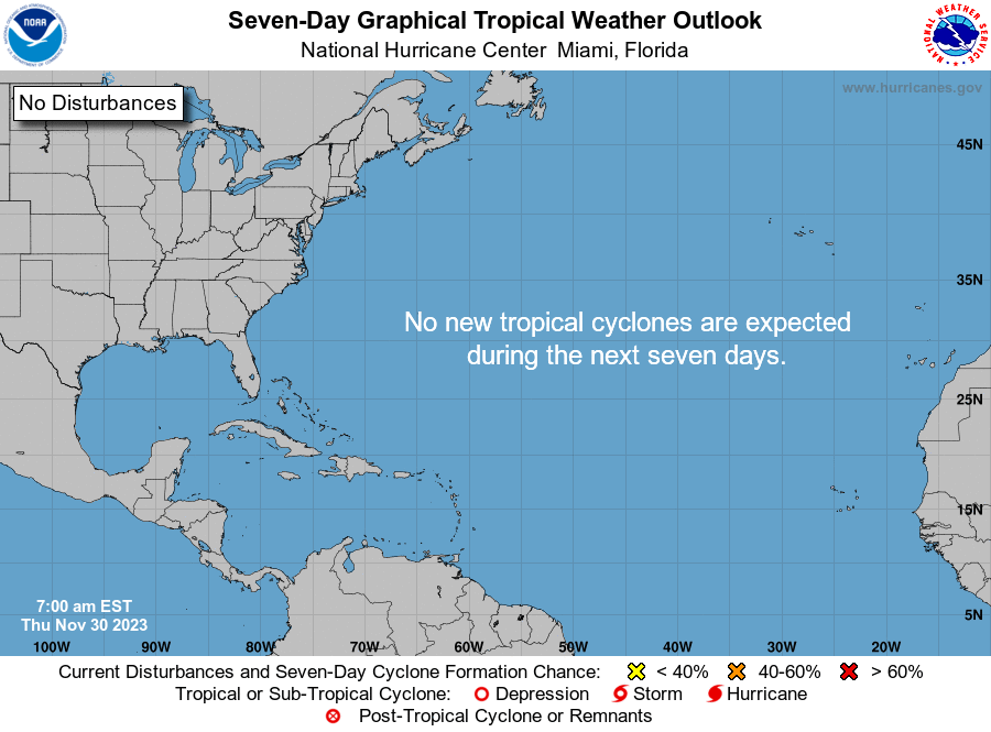
National Hurricane Center map: What else is out there and how likely are they to strengthen?
Systems currently being monitored by the National Hurricane Center include:


Near the Leeward Island: A trough of low pressure just northeast of the northern Leeward Islands continues to produce disorganized showers and thunderstorms. Some gradual development of this system is possible during thecouple of days while it moves westward near the Greater Antilles.
Regardless of development, locally heavy rains are possible during the next couple of days across the northern Leeward Islands, the Virgin Islands, Puerto Rico, Hispaniola, and the southeastern Bahamas.
-
Formation chance through 48 hours: low, 20 percent.
-
Formation chance through seven days: low, 30 percent.
What do the colored areas on the NOAA map mean?
The hatched areas on a tropical outlook map indicate “areas where a tropical cyclone — which could be a tropical depression, tropical storm or hurricane — could develop,” said National Hurricane Center Deputy Director Jamie Rhome.
The colors make it visibly clear how likely a system could develop with yellow being low, orange medium and red high.
The National Hurricane Center generally doesn’t issue tropical advisories until a there is a named storm, but there is an exception.
“If a system is near land and there is potential for development, the National Hurricane Center won’t wait before it issues advisories, even if the system hasn’t become an actual storm. This gives residents time to prepare,” Rhome said.
Who is likely to be impacted?
Some areas of Florida could feel some impacts, including tropical-storm-force winds and 1-3 inches of rain from Hurricane Rafael.
➤ Florida hurricane forecast: With Rafael rumblings, storm-stung state should only see rain
AccuWeather meteorologists said the system in the southwestern Atlantic could become a tropical depression or storm as it moves along the northern islands of the Caribbean this week. It’s too early to say whether Florida could see any impacts.
Forecasters urge all residents to continue monitoring the tropics and to always be prepared.
Weather watches and warnings issued in Florida
When does hurricane season end?
The Atlantic hurricane season runs from June 1 through Nov. 30.
The Atlantic basin includes the northern Atlantic Ocean, Caribbean Sea and Gulf of Mexico.
Interactive map: Hurricanes, tropical storms that have passed near your city
Excessive rainfall forecast
Stay informed. Get weather alerts via text
What’s next?
We will continue to update our tropical weather coverage daily. Download your local site’s app to ensure you’re always connected to the news. And look for our special subscription offers here.
Contributing: Christopher Cann and Jorge L. Ortiz, USA TODAY
This article originally appeared on Fort Myers News-Press: NHC tracking Hurricane Rafael, disturbance. See Florida impacts
